Introduction to R and GBIF
Links
Project Details
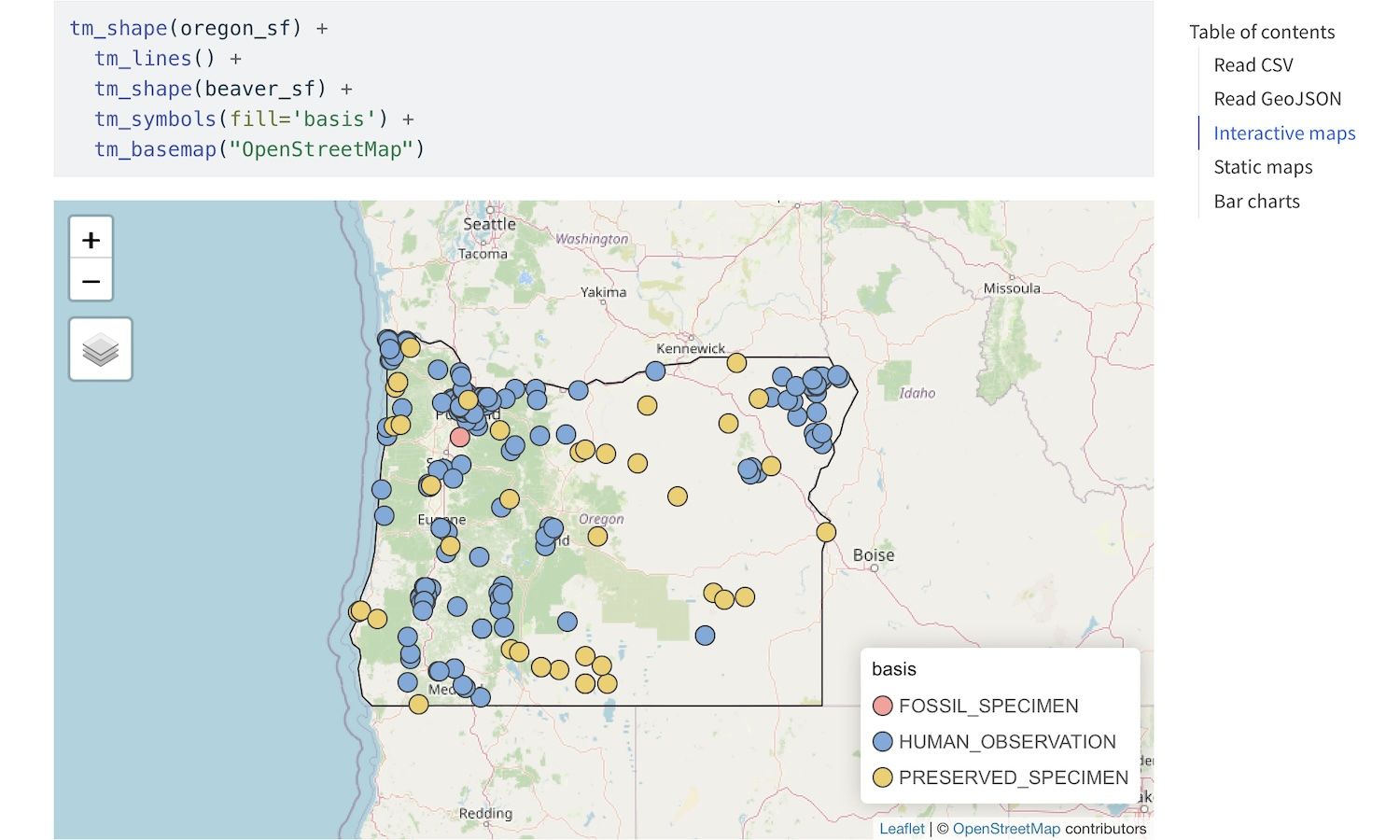
"Mapping Specimen Occurrence Data in QGIS" QUBES lesson uses QGIS to examine beaver GBIF data in Oregon. I converted the lesson to use R to create maps and charts.
Data Sources
Mapping Specimen Occurrence Data in QGIS from QUBES
Tech Stack
- R
- Quarto
- tidyverse
- sf
- tmap
- Previous: Draw Shapes, Download GeoJSON
- Next: San Diego Urban Heat Island